Aerial photographer for individual aerial photographs
You are looking for special aerial photographs and have not found any suitable images in our online aerial archive?
We would be happy to arrange for you individual aerial photo material optimized for your property. Whether as an aerial photo, cyclist-stabilized aerial video loop, vertical image, infrared scan or even as a night aerial photograph - with the experience of more than 26 years we advise you which aerial image format represents your project optimally and represents.
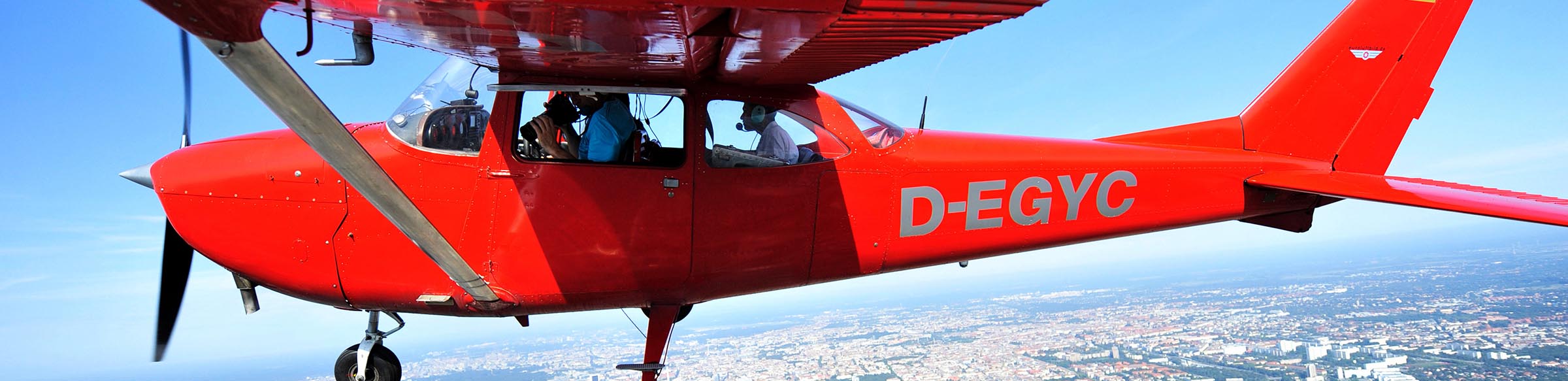
Oblique and vertical aerial photographs are realized with our own airplanes stationed in Werneuchen near Berlin under almost cloud-free conditions.
For flights to airspace restrictions and airspace areas (e.g., inner city areas of Paris, Warsaw, London, Berlin), we are provided with crews and aircraft from the air transport company authorized in the respective country of use.
Our recording technology meets the latest technical standards - with 36 megapixel systems (103 MB per image, equivalent to 7360 x 4912 pixel resolution) in the photo area and FullHD air video sequences in 3K and 4K resolution
After the flight, your aerial photo material will go through an image processing (or, in the case of aerial videos, a corresponding video processing procedure). Most of the time, the aerial photographs are available for you online on the following day at www.aerialphotosearch.com. You will automatically receive an e-mail from our editorial system with the direct link to the available images.
For the video and / or aerial photo material falling into your final selection, you will have the right to use and reproduce the right to use and reproduce the content of your company, authority or institution, including the right of access to the internet.
As a prerequisite, please inform us with your order or a short briefing about the land borders, building or facades. Helpful for the flight plan are also existing aerial photographs, Google Maps Screens, map material or other location plans.